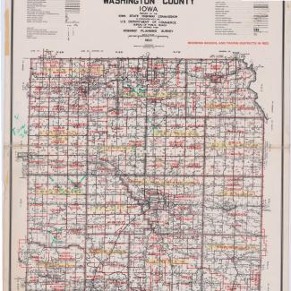
Laminated map of Washington County, 1955. Map is a modified highway and transportation map with school districts added in red ink. Map has handwritten marks in green editing some districts.
Used in school district reorganization and consolidation.
Purchase:
Gift:
Found in Collection:
Institution:
Institution

