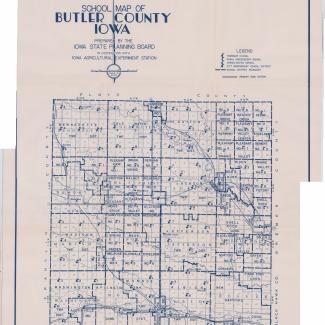
School map of Butler County, Iowa, dated 1938. Prepared by the Iowa State Planning Board and the Iowa Agricultural Experimentation Station. Labels school districts and shows their boundaries. Also indicates where individual schools are and what type of school they are.
Originally in Butler County Box 6 Folder 5
Purchase:
Gift:
Found in Collection:
Institution:
Institution

