
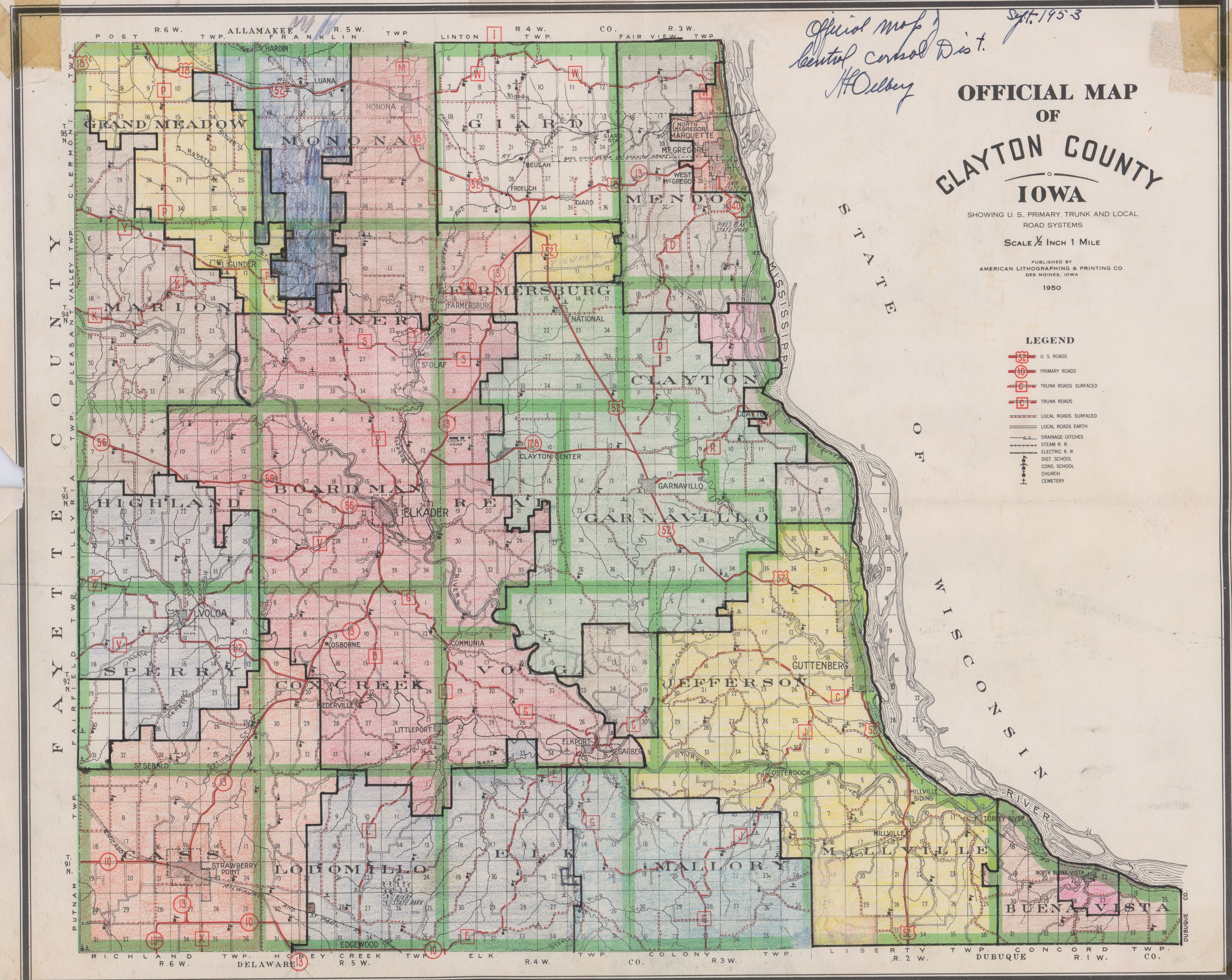
"Official Map of Clayton County, Iowa," dated 1950. Map has been modified to school school district boundaries, though it does not label them. A handwritten note on the map specifies that it is an official map of the Central Consolidated School District, dated September 1953.
Originally in Clayton County Box 1
Purchase:
Gift:
Found in Collection:
Institution:
Institution