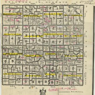
Laminated copy of a Jones County map, 1915. Shows school district boundaries and some names. Notes added in red ink, likely in the 1970s-1980s based on other maps from same donation.
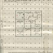
On the back is an updated 1926 map of Castle Grove Township showing the new boundaries.
Used in school district reorganization and consolidation.
Purchase:
Gift:
Found in Collection:
Institution:
Institution


