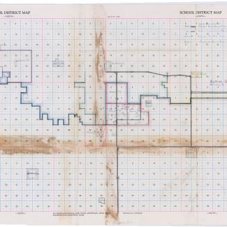
Large school district plat map focused on northeastern Iowa, particularly the area between Cedar Falls and Wellsburg, Iowa. Undated, but in context of original folder, dated 1961. Map shows boundaries for several districts, most importantly a proposed change to Dike, Iowa's school district and objectors who lived to the northwest of Dike.
Originally in Butler County Box 3 Folder 29
Purchase:
Gift:
Found in Collection:
Institution:
Institution

