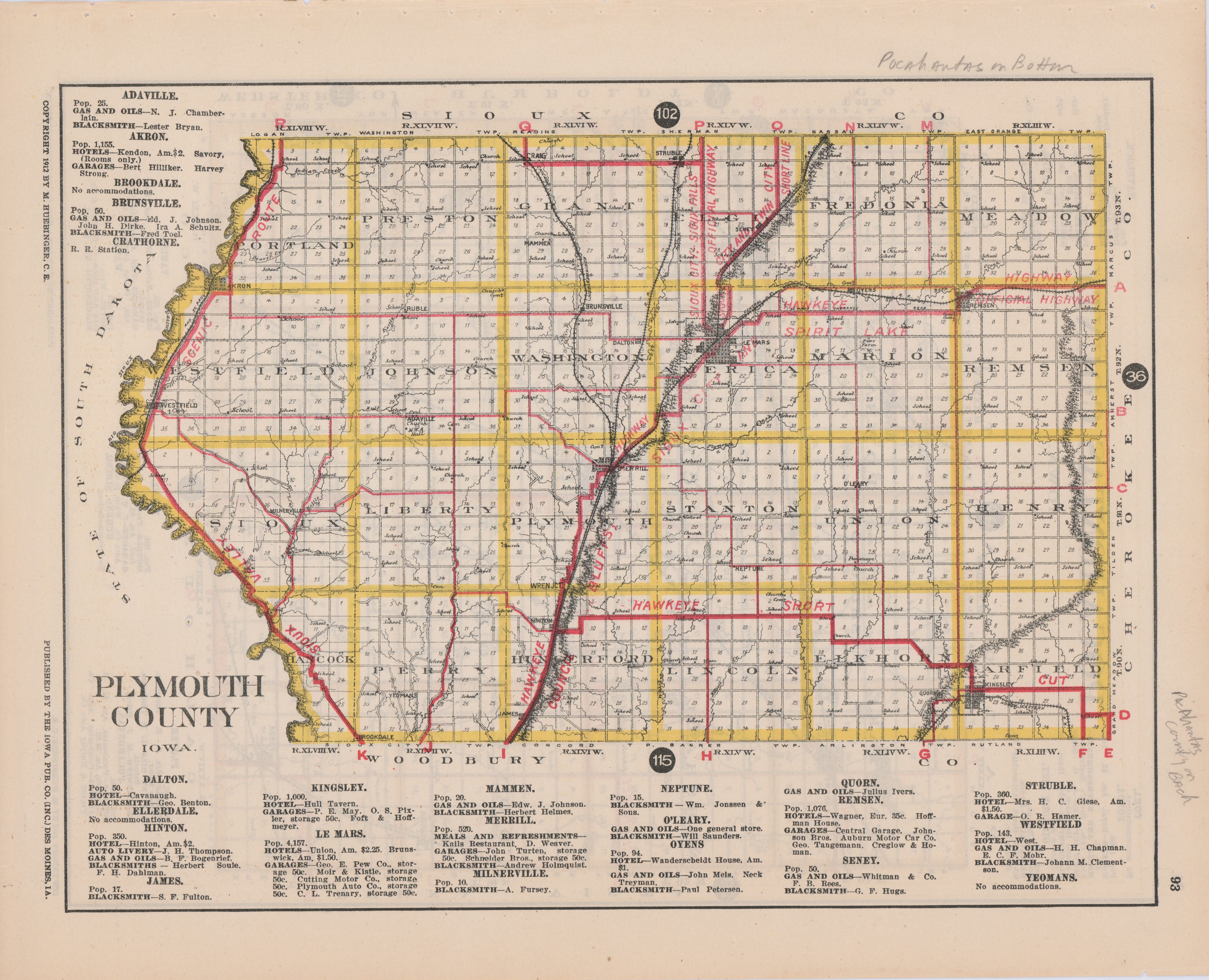
A 1912 map of Pochantas County and Plymouth County, Iowa. From the Iowa Touring Atlas. Double-sided, one county to a side. Lists routes, towns, and places to buy gas or get a hotel room.